Seeing cities in 3D
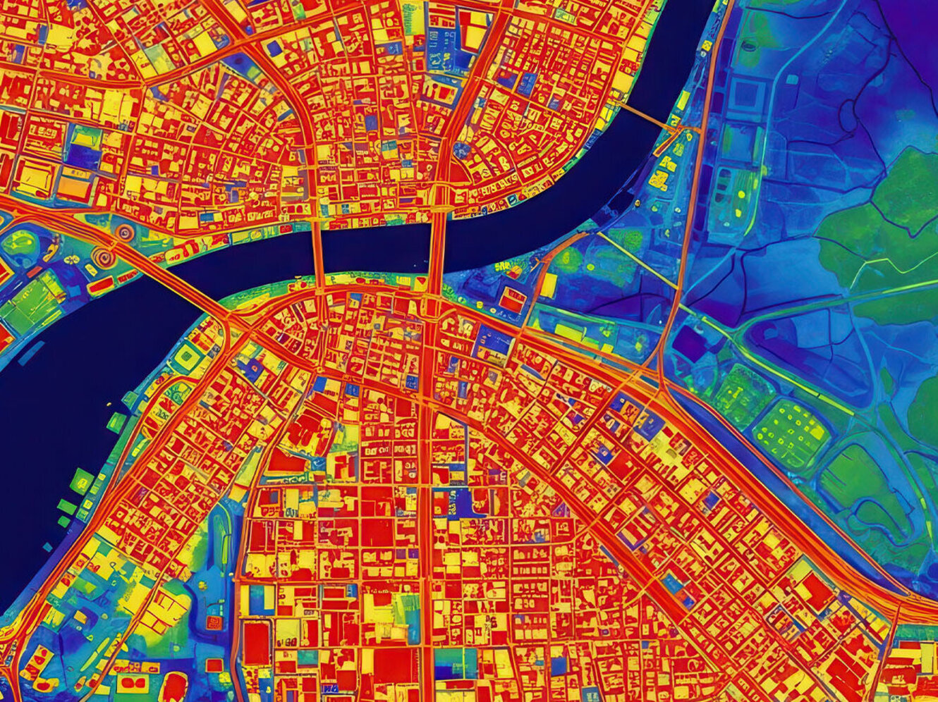
In an era of rapid global urbanization, accurately assessing human impact on urban systems requires a dynamic framework rathter than isolated measures of density or land cover. In their review, the Landscape Ecology Group (Dagmar Haase) synthesized existing approaches to define Urban Land Use Intensity (U-LUI) as a continuous, multidimensional, and spatio-temporally dynamic property of urban systems. They introduced an operational framework built around six complementary indicator families: traits, genesis, structure, taxonomy, function, and socio-economics. By linking multi-sensor remote sensing data (e.g. multispectral, hyperspectral or thermal observations) with emerging in situ data sources like sensor networks and crowdsourced geodata, it captures both the physical morphology (such as 3D volumetric density) and the functional processes (such as energy flows, microclimatic stress, and activity rhythms) of cities. This review establishes a standardized, scalable benchmark to harmonise urban monitoring across global scales, leading to evidence-based tools for sustainable governance. For more information on the topic, read the full review.
Abstract
Urban land use intensity (U-LUI) is a widely used term for describing urban development processes, yet its conceptualisation and measurement remain inconsistent. Existing approaches focus on isolated dimensions, such as structural density, functional activity, and socio-economic indicators, resulting in limited comparability and weak integration across scales and data sources. This paper reviews and synthesises current approaches to U-LUI with a focus on remote sensing (RS), in situ data and emerging urban data sources. It analyses definitions, related concepts of urban intensity and existing monitoring frameworks at national, European and global levels, and compares methodological approaches for observing U-LUI. Based on this synthesis, U-LUI is defined as a continuous, multidimensional and spatio-temporally dynamic property of urban systems that reflects the intensity of anthropogenic use. To operationalise this concept, the paper develops an integrative, trait-based framework comprising six indicator families: traits, genesis, structure, taxonomy, function and socio-economics. The proposed framework is illustrated and supported through the synthesis of existing RS approaches, urban monitoring concepts and representative examples from the literature, demonstrating its potential for consistent and scalable U-LUI assessment. These dimensions link physically observable characteristics with functional and contextual aspects of urban systems and provide a basis for more consistent quantification and comparison. The results highlight key challenges for U-LUI monitoring, including limited conceptual harmonisation, incomplete integration of dimensions and the need for improved data integration. The proposed framework supports more coherent and scalable assessments of U-LUI in research, monitoring and planning contexts.